


Fforest Fields Hill
4.2 km long.
Difficulty: Medium

Click map to view the route published on OS Maps, Ordnance Survey
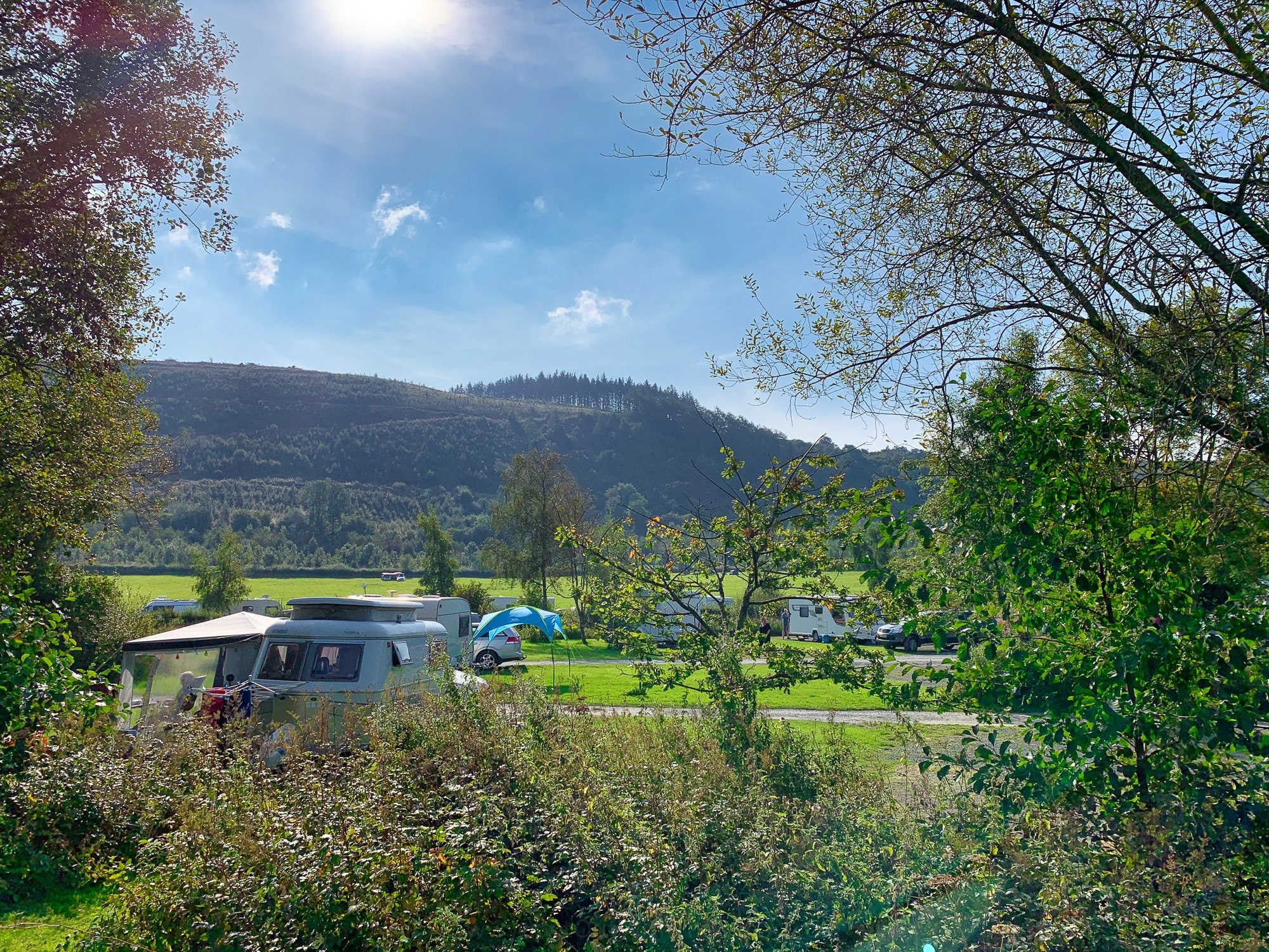
Fforest Fields is a great campsite. You can sit around and enjoy the view, or get out and active (or do both!). Overlooking the campsite is a hill, with trails for walking, running, and mountain biking. You can get a route map from campsite's reception or follow along here.
This route starts off on level ground and goes all the way around the main lake at Fforest Fields, before heading off up the hill. Some of the paths can be slippy, rocky, and muddy. This route tackles the steep bit first, heading up above the waterfall, along the hill on the top path, and then back along the hill at the lower path, before meandering through the trees lower on the slope and returning to the big field at the campsite.
When you are at to the top of the hill, make sure you look back down at the campsite and see just how far you've climbed.
Facilities
On The Map
Address
Fforest Fields HillFforest Fields Campsite
Powys
Powys
LD1 5RT
Wales
Longitude: -3.317807
Latitude: 52.170046