


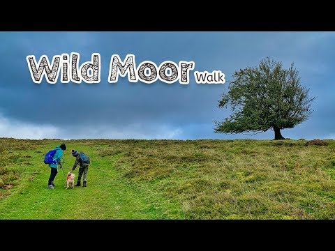
Wild Moor Walk
Hiking Trail
10.6 km long.
Difficulty: Medium

Click map to view the route published on OS Maps, Ordnance Survey
For this walk, you start off at the National Trust car park at Carding Mill Valley. There are two car parks. For this walk, it is best to use the upper car park.
The walk is going to take you about three hours, depending on how many stops you make. The first part of the route is quite steep, and this is the steepest part of the whole walk.
Videos
Our Review
Wild Moor is a route we have walked many times. It's a good bit of exercise, and you get to explore some more remote areas of the Long Mynd.
Although we had done this when our kids were tiny, this would be a challenging walk for most small children.

- Follow our route using the OS Maps app for best results.
- Start in the National Trust upper car park at Carding Mill Valley.
- Cross the bridge and take the long path that climbs up from the valley.
- When you get to the stream to cross with the signpost for Lightspout Waterfall, carry straight on up the hill, and don't visit Lightspout.
- As you get close to the top of the hill, turn around. It's quite a view.
- At the end of the climb, you'll reach the old trackway called the Portway. Turn left along the track for a little while, until you see a path on your right to Ratlinghope.
- Follow the Ratlinghope path. It descends towards a road and then continues up over the hill until you reach the road again near some farmhouses.
- Continue along the road to Ratlinghope and Brow Farm Campsite.
- For this section, you walk along a quiet country road, past the hamlet, and onward further into the countryside.
- After a while, you'll see a footpath sign on your right. Go through the gate and follow it straight up the hill.
- After climbing the hill, you'll get to a style. Climb over it, then follow the path to the left up to Wild Moor.
- As you walk across Wild Moor, you will eventually reach Wild Moor Pool. Follow the road the dams the pool.
- Eventually, this road will reach the trackway, which will be on your right-hand side.
- Follow the trackway to the point that you climbed up, and return down the hill back to the car park.
Facilities
Parking Toilets Dogs Welcome Cafe
Facilities Details
At Carding Mill Valley the National Trust runs a tea room and toilet facilities.On The Map
Address
Wild Moor WalkCardingmill Valley, Church Stretton
Shropshire
SY6
England
Longitude: -2.82589
Latitude: 52.54874